Within the frame of SENSoR project Risk Mapping for Hungary became available for the period 2008-2010.
The main Hungarian road network (state roads, so called ‘national roads’) is 31700 km long. KTI defined a 2912 km network, on which 34% of fatal crashes occur. The results below are related to this network.
Analysis included 66% of single carriageway roads and 34% of motorways. This represents just 11% of the investigated part of the national road network, but carries 54% of the traffic. 6% of the network fell into the best possible safety standard achieving the lowest risk banding.
For individual road-users risk maps show which roads are safer than others and identify the high risk roads where they need to be especially alert. For road authorities they reflect more broadly how risk of fatal and serious crashes is distributed across the network and can help to form the basis of investment decisions.

The produced Risk Map show the risk of the examined road network based on the ratio of fatal accidents per vehicle-kilometre travelled. It is estimated that this study is a useful and valuable tool for anyone, expert or not, in order to (i) be able to choose the safer route for each trip, (ii) to be more cautious while driving on dangerous parts of the network, and (iii) be able to identify the sections that need improvements which will have the highest impact on users.
Part of the National Road Network of Greece is mapped relevant to the risk of road safety. A total of 4.600 km are ranked according to the road safety level. The investigated roads include the entire Greek TEN-T road network
The developed Risk Map for Greece covers 4.600 km of the TEN-T road network for the period 2008-2010. The evaluated network elaborates the recent changes that occurred according to the latest EC Decision. The results show lower risk rates (related to the previous time period assessed) mainly wherever infrastructure was upgraded.

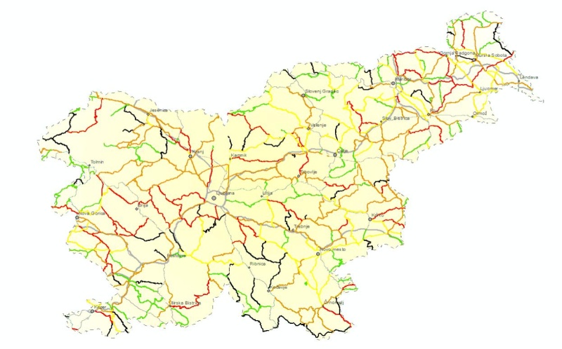
Slovenian SENSOR Risk Maps 2010-2012 were produced for total of 6.532 km state road network.
In total, state road network is risk rated as 35.2% of low risk, 19.2 % of low-medium risk, 20.4% medium risk, 11.7% medium-high and 13.5% of high risk roads.
In 2010-2012, on SLO SENSoR road network, there were 1248 serious and 253 fatal road crashes.
The average rate of serious and fatal road crashes on motorways and expressways is 7.2 per billion kilometers travelled in three years period, on main roads 50.2 and on regional roads 73.3.
On motorways and express ways, there were 49.1% of kilometers travelled, on main roads 17.3% and on regional roads 33.6%.